


Distance Calculator


Distance from Nea Erythraia to Thessaloniki
The shortest distance (air line) between Nea Erythraia and Thessaloniki is 182.84mi (294.26 km)
The shortest route between Nea Erythraia and Thessaloniki is 300.62 mi (483.81 km) according to the route planner. The driving time is approx. 5 h 27 m
How far is it between Nea Erythraia and Thessaloniki.
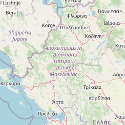
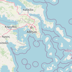
Nea Erythraia is located in Voreios Tomeas Athinon, Greececountry within 38° 4' 59.88" N 23° 49' 0.12" E (38.0833, 23.8167) coordinates. The local time in Nea Erythraia is 12:46 (24.09.2025)
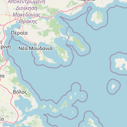
Thessaloniki is located in Thessaloniki, Greececountry within 40° 38' 25.08" N 22° 56' 4.92" E (40.6403, 22.9347) coordinates. The local time in Thessaloniki is 12:46 (24.09.2025)
The calculated flying distance from Nea Erythraia to Thessaloniki is 182.84miles which is equal to 294.26 km.
If you want to go by car, the driving driving distance between Nea Erythraia and Thessaloniki is 300.62 miles (483.81 km). If you ride your car with an average speef of 112 kilometers/hour (70 miles/h), travel time will be 4 hours 19 minutes.Please check the avg.speed travel time on the right for various options
Estimated Travel Time Between Nea Erythraia and Thessaloniki
| Average speed | Travel Time |
|---|---|
| 30 mph (48 km/h) | 10 hours 1 minutes |
| 40 mph (64 km/h) | 7 hours 31 minutes |
| 50 mph (80 km/h) | 6 hours 1 minutes |
| 60 mph (67 km/h) | 5 hours 1 minutes |
| 70 mph (112 km/h) | 4 hours 18 minutes |
| 75 mph (120 km/h) | 4 hours 0 minutes |
Nea Erythraia, Voreios Tomeas Athinon, Greece
Related Distances from Nea Erythraia
Thessaloniki, Thessaloniki, Greece
 Log in with Google